Cotgrave Country Park, 29th June 2022


Rab's 4.8 mile Evening Stroll took 16 of us around Cotgrave Country Park, the site of the old colliery, making full use of tracks along the disused railway line and the Grantham Canal.
The start at the Pocket Park and Ride, Shepherds Restaurant

Sustrans Route 15 along the multi-user track of the 3km disused railway line which runs between Cotgrave Country Park and Holme Pierrepont.  Formerly used to transport coal from Cotgrave Colliery to Ratcliffe on Soar Power Station

Drinks stop on Windmill Hill.
Gozen's Hill Mill stood on top of Mill Lane until 1916 when it was blown down during a gale. The mill was of the post type where the whole body of the tower could be moved by hand in order to face the wind.
Good views to the south west


Langar and Colston Bassett, 26th June 2022


Brenda's walk took 28 of us on a 4.8-mile walk from St Andrew's Church in Langar across fields to the ruin of St Mary's Church in Colston Basset for coffee before returning along the gated road to Langar.  

This was followed by a picnic in Brenda's garden with tea and cakes.  Thanks again Brenda for organising everything.


The start at St Andrew's Church, Langar

St Andrew's Church, Langar

Threatening skies as we leave Langar on field paths
Skyscape

Langar Solar Park

The former church of Saint Mary, Colston Bassett was replaced by the new church of Saint John the Divine in 1892

Since that time, it has fallen into ruin but has recently been consolidated and made safe with the help of English Heritage and funding from the National Lottery

St John the Devine Church, Colston Bassett was erected in 1892.  A local legend claims a boulder (shown) lying in the churchyard is a meteorite, but it has been identified as cinnabar (the common ore of mercury) probably from Peru

Colston Bassett Hall - a Grade 2 listed building dating back to 1704


Nocton and Potterhanworth, 19th June 2022

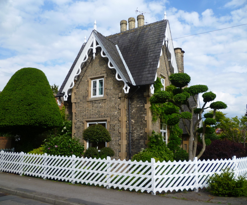
Seven on John's walk today with two guests from Newark Ramblers.  Great walking weather with temperatures not too warm and a cooling breeze.  The route took us along Car Dyke to Nocton in an area known for its potatoes.  

After the First World War surplus army narrow gauge railway equipment was bought by farmers in Lincolnshire and the Fens for use in their fields to bring the crops, particularly potatoes, to a depot or a standard gauge railhead for onward transhipment.  One such system was the Nocton Estates Light Railway. It eventually had almost 23 miles of single track, with five new Simplex locos hauling ex-army wagons and vans. By 1960 it had virtually closed but fortunately railway enthusiasts in North Lincolnshire managed to aquire a quantity of rail and stock from the system and built the Lincolnshire Coast Light Railway .

Water tower in Potterhanworth, now a private residence

Lincolnshire skyline

Coffe stop at the edge of Potterhanworth Wood and Car Dyke.
The Car Dyke is/was an 85-mile long ditch and is generally accepted as being of Roman age and marks the western edge of the Fens

This hamlet on Car Dyke sits 10m above sea level in the centre of the Nocton Esrate where the limestone ridge of the Lincoln Edge meets fenland and lies just to the east of the River Witham. 


Southwell and Norwood Park Evening Stroll, 15th June 2022


Elaine's 5.7 mile stroll took thirteen of us from the car park in Church Street round the back of Southwell Minster to view the orchids in Potwell Dyke Grasslands, then through the grounds of Brackenhust Agricultural College and into Norwood Park.  Approaching Mayfield Mill we turned off along the Southwell Trail, returning through the town centre.

The Palace of the Archbishop of York next to the Minster

Archbishops Palace Gardens

Common Spotted Orchids in Potwell Dyke Meadows.  Southern Marsh, Bee and Pyramidal Orchids can also be found here

Posh bug house at Brackenhurst.
In the two years since the larger image was taken, occupancy has improved as bees and other insects have plugged up the holes

A very gloomy and dry Potwell Dyke

Starkey's Fruit Farm strawberries in Norwood Park

Polytunnels at Starkey's Fruit Farm
Norwood Park Country House

Maythorne Mill (1785) on the River Greet, a cotton mill which later became a silk mill and operated until the middle of the 20th century

Caudwell's Mill on the site of Southwell's medieval Burgage Mill

Station House.  Southwell was connected to the Midland Railway network 1847 and the line was in continuous use until 1968.  The section to Farnsfield, part of which we walked, is now a nature reserve

The Minster at sunset


Beckingham and Barnby in the Willows, 12th June 2022

John's 6.6-mile walk took eighteen of us along dykes and field paths and tracks first to Sutton and Fenton and then across the River Witham to All Saints, Barnby in the Willows for lunch.  The route back was along the north bank of the Witham.

All Saints' Church, Beckingham - the start

The other side of the fence fortunately

Sutton Dyke

The Witham in June 2022

The Witham in March 2015

Barnby Bridge

All Saints churchyard, Barnby

Return to Beckingham

The Notts/Lincs county boundary follows the old, very wiggly course of the Witham.  The track from Barnby (Nottinghamshire) to Beckingham (Lincolnshire) followed the straighter course but still involved crossing the boundary at least six times


Stoke Bardolphe and the Netherfield Lagoons, 7th June 2022


Sue led eleven of us on this 4.7 mile dampish Evening Stroll from the Ferry Boat Inn at Stoke, round the Netherfield Lagoons and back along the Trent past Stoke lock to the pub (for some).


Netherfield to Radcliffe railway line

Radcliffe Residential Park across the Trent

Stoke Lock

Stoke Lock

River Trent, approaching the end

And so to the Ferry Boat