
 |
| Friends of Bingham Linear Park 2000 - 2022 Mosaic at Tithby Road entrance J Craig, 2022 |
 |
| Approaching Tithby |
 |
| Holy Trinity Church, Tythby |

|
| Friends of Bingham Linear Park 2000 - 2022 Mosaic at Tithby Road entrance J Craig, 2022 |
|
| Approaching Tithby |
|
| Holy Trinity Church, Tythby |

 |
| The Royal Oak |
 |
| Setting off from Car Colston's Large Common |
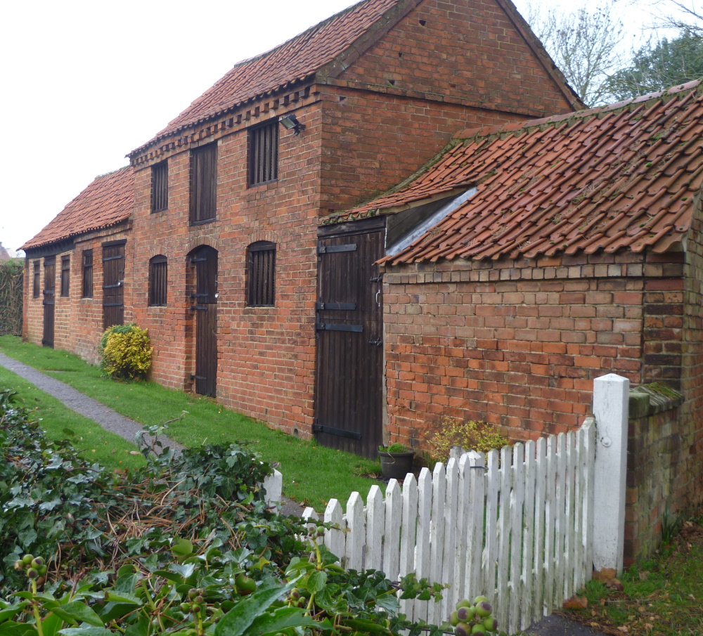 |
| Fine buildings |
 |
| The old village stocks and whipping post (Grade II listed) |
 |
| St Mary's Church dates back to the 13th century |
 |
| Christmas is coming, boys |

Starting at Plungar Church, Susie's 7¼ mile walk took ten of us across fields to Barkestone and then on to Redmile for coffee, returning to Plungar along the Grantham Canal.
For more photos taken on the walk, go to John J's Relive video.

St Helen's Church, Plungar


 |
| The start at the Rutland Arms (aka Dirty Duck) |
 |
| Woolsthorpe Wharf from Woolsthorpe Bridge |
| National Cycle Network sign next to the canal |
 |
| View from Longmoor Bridge |
 |
| The Denton Reservoir Loop on the Grantham Canal Opened 1797, closed 1936 - coffee stop |
 |
| Denton Reservoir |
 |
| Leaving the line of the disused ironstone railway and joining the Viking Way near Longmoor Bridge |
 |
| Grantham Canal Society workboats |
 |
| Woolsthorpe Locks |

 Paul's 10½ mile, undulating walk today started at Launde Abbey and took eight of us on good tracks to Loddington and then on to Belton in Rutland for lunch. Six took the full route but two headed for home. The route made full use of the many waymarked footpaths in the area - the Rutland Round, The Leicestershire Round, the Macmillan Way and the Leighfield Way.

 |
| Setting off up an early undulation looking forward to the promised views |
 |
| One of the promised views - prepared earlier |
 |
| Conference delegates taking a well-earned break |
 |
| Launde Big Wood Nature Reserve |
 |
| Loddington |
 |
| St Peter's Church, Belton in Rutland |
 |
| Armistice Day lunch at the War Memorial cross, Belton in Rutland |
 |
| The long, the short and the elevation - over 400m of climbing |

Angela's 8.1 mile walk took thirteen of us around the Langford Lowfields RSPB Reserve , then alongside the River Trent to Besthorpe Nature Reserve and back across fields, making use of the Trent Valley Way at times. The area is dominated by old and current Tarmac quarries for extracting sand and gravel.

 |
| Here is one prepared earlier (in 2014) - birdlife in Collingham |
 |
| The Fleet between Collingham and the River Trent. It flows from Winthorpe to join the Trent at Girton, north of Besthorpe. It has been suggested that the Trent itself followed this course at one stage |
 |
| Conveyer connecting Tarmac Langford Sand and Gravel quarries |
 |
| Sluice gate, where the Trent Valley Way crosses Slough Dyke, used to keep floodwaters under control. |
 |
| Wobbly, floating bridge over Langford Lowfields |
 |
 |
| Cromwell Weir, the limit of the tidal Trent. A proposal was made to install a hydropower station generating 1.6MW at its peak but this was rejected because of the impact on one or two fishing pegs |
 |
| Clapper Gates are a distinctive type of self-closing double gate, unique to the navigable reaches of the River Trent. They were erected along the towpath of the river in the 18th century, and allow people and horses to pass through the field boundaries on the river bank, but prevent livestock from straying |
 |
| Sand and gravel jetty on the River Trent |
 |
| Disused sand and gravel conveyor to take material from the processing plant to a jetty on the River Trent. Now replaced by a 25cm pipeline for hydaulic transportation (see to the left, hidden in the undergrowth) |
 |
| Besthorpe sand and gravel works. A very busy site for sand and gravel extraction but to the north the former workings have been turned into nature reserves. See also the history of the Trent Valley aggregates industry |
 |
| Back over The Fleet |
