Brackenhurst and Westhorpe Evening Stroll, 11th June 2025

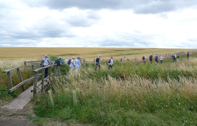
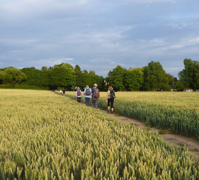
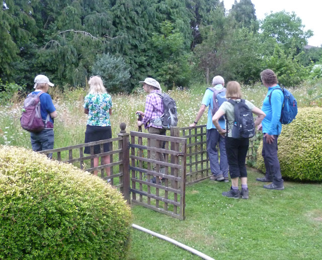
Howard's 5-mile Evening Stroll started in the NTU Brackenhust Campus car park and took ten members along the Robin Hood Way, over Cundy Hill and then to the village of Westhorpe.  After crossing Westhorpe Dumble, we turned west into landscape dominated by solar panels and newly planted screening trees before returning along Cotmoor Lane to the start.  A pleasant stroll on good tracks in fine weather.

Thanks Bill for the photos.


Brackenhust College - the start

Distant view of Southwell Minster from Cundy Hill

Heading down to Westhorpe

Crossing Westhorpe Dumble

RWE's 50MW Cotmoor Solar Farm comprises the West Southwell Solar Array (shown here) and the Halloughton Solar Array.  It covers 210 acres and its 132 thousand individual solar panels can provide electricity for 12 thousand homes.

Thousands of Oak, Beech, Birch and Hawthorne trees have been planted to screen the arrays

Buttercups

Sunset


Watermead and Abbey Parks, 8th June 2025

Starting at Fingers Lake car park, Dave C's flat, 9.2 mile waterside walk took eleven of us on good tracks around the many lakes in the parks, along the banks of the River Soar and the Grand Union Canal and on to visit the remains of the twelfth-century Leicester Abbey in Abbey Park. Plenty of birdlife and views of narrow boats, locks, weirs, bridges, a space centre and a pumping station.

Thanks John for the photos.


The start near Fingers Lake

Carvings in the children's Animal Play Area near the car park

King Lear's Lake.  This statue depicts the final scene of Shakespeare's play King Lear - Act V, Scene III

Wildlife near bird feeding station

River Soar and canal diverge

The National Space Centre, a museum and educational resource covering the fields of space science and astronomy, along with a space research programme in partnership with the University of Leicester

Abbey Pumping Station (1891) now a museum of science and technology

Abbey Park is a late-19th century public park, formed from water meadows. The site was extended in 1925 by the addition of the adjacent Abbey Grounds

Boundary wall of the Abbey

After Dissolution in 1538, the Abbey buildings were demolished although the main gatehouse, boundary walls and farm buildings were left standing

Artists impression of Leicester Abbey

Cardinal Wolsley, accused of treason and on his way back to London, stayed at Leicester Abbey.  He said I see the matter against me how it is framed. But if I had served God as diligently as I have done the King, he would not have given me over in my grey hairs ... and promptly died

View over River Soar from Abbey Park Bridge
Lime Kiln Lock on the way back along the Grand Union Canal


Harlaxton and Denton Eveing Stroll, 4th June 2025

Starting at the Gregory Arms near Harlaxton, Elaine took nine members on a 4.2 mile walk to Denton and back.  After crossing the Melton road into the grounds of Harlaxton Manor, the walk turned into and through Harlaxton Village to visit the church.  It then recrossed the main road to drop down across fields to Denton and its church and then on to the reservoir for a coffee stop.  After walking near the Grantham Canal to Harlaxton Bridge, we climbed up The Drift back to the Gergory Arms for refreshments.

The start in the car park

Gates to Harlaxton Manor

Drive up the Harlaxton Manor

Harlaxton Manor (1851) was built for Gregory Gregory, a local squire and businessman. Harlaxton is a Grade I listed building and the gardens are listed Grade II*.  Since 1978, Harlaxton has been owned by the University of Evansville and is the base for their study-abroad programme

Harlaxton Village Cross

St Mary and St Peter's Church, Harlaxton

Crossing Main Street, Denton

St Andrew's Church, Denton

Denton Reservoir.  "You're looking at 277 million litres of water"

Coffee stop

A welcome drink at the end


Erewash Valley Trail and the Bennerley Viaduct

The Erewash Canal runs north from Trent Lock at the junction of the River Trent and the River Soar Navigation and was completed in 1779 to link the Derbyshire coalfields to the Trent. At Langley Mill, the Cromford Canal joined in 1794 and the Nottingham Canal made a connection two years later at what became known as the Great Northern Basin.

Dave’s 7-mile walk started at the Basin and took thirteen VBR members and guests along the Erewash Canal for a short distance before crossing to the route of the Nottingham Canal which, unlike the Erewash, is not in water along its entire length. After a short excursion across the flood plain of the Erewash River, the route rejoined the Nottingham Canal to take us to view the eastern end of the Bennerley Viaduct (aka the Iron Giant) where a new access ramp and Visitor Centre are being built. Further on is a splendid viewpoint of the viaduct itself.

Leaving the Nottingham Canal, we dropped down on Awsworth Road and crossed over the River Erewash to examine the piers supporting the viaduct  Then, after crossing over the East Midlands Railway line, we climbed up to the Erewash Canal which we followed it for a short distance to the western ramp up to the viaduct.

Returning to the Erewash Canal, we then walked past Shipley and Eastwood Locks back to Langley Mill.

Thanks Bill and John for the photos.

A short section of the Nottingham Canal at the Great Northern Basin

The start at the Great Northern Basin

Looking across the first of fourtenn locks on the Cromford Canal

Boat on the Erewash

Leaving the Erewash Canal to join the route of the Nottingham
Flora and fauna on the Nottingham.  The cormorant (bottom right) too quick for the cameraman

Severn Trent's 2.5 MW wind turbine powering a local water treatment plant built despite local opposition

Horses on the Erewash flood plain

The Bennerley Viaduct Visitor Centre due to open later this year.  Completion of the eastern access ramp to the viaduct has been delayed due to geotechical problems

More information can be found on the website of the Friends of Bennerly Viaduct, the charity set up to rescue the Iron Giant from demolition

Viewpoint of the viaduct

The Bennerley Viaduct carried the Great Northern Railway over the River Erewash. The site required a bespoke design as the ground would not support a traditional masonry viaduct due to extensive coal mining.  Click on the image for more information.

Late coffee stop

View up the River Erewash 

The viaduct consists of 16 spans of wrought iron, lattice truss girders carried on 15 wrought iron piers which are not fixed to the ground but are supported by brick and stone bases.

Fine benches on the viaduct acknowledging the sponsors of the Friends of Benerley Viaduct

View towards Nottingham from the bridge over the East Midlands Railway line

The decking of the viaduct - temporarily closed at the far end


Approaching Bridge Street on the way back
Lunch stop at Shipley Lock


Refreshments for some at the end