 |
| Mount St Bernard's Abbey, a Cistercian monastery established in 1835 |
 |
| Paul briefs the troops |
 |
| Leaving the Abbey grounds |
 |
| Bridge at the upstream end of Blackbrook Reservoir. The reservoir was constructed in 1796 in order to feed the Charnwood Forest Canal which has long since vanished. The first dam constructed was an earthworks one and this failed on 20 February 1799. In eleven minutes much of Shepshed and nearby Loughborough were affected by flood waters. The present gravity dam was constructed in 1906. In 1957 the dam felt the effects of a magnitude 5.3 earthquake and cracks appeared in the faces of the dam |
 |
| St James the Greater, Oaks in Charnwood - |
 |
| - coffee stop |
 |
| Approaching the radio mast on top of Bardon Hill |
 |
| Bardon Hill Quarry has been operated for over 400 years and produces three million tonnes of rock a year, 15% of UK output |
 |
| The quarry exposes rocks from a Precambrian volcano as explained here |
 |
| The view to the south west extends to over 5,000 square miles or one twelfth of England and Wales - but not today |
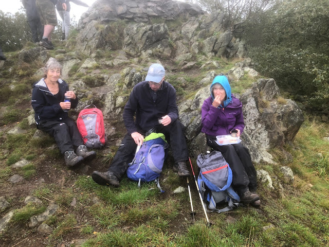 |
| More lunch on Bardon Hill |
 |
| Leaving Bardon Hill in a fragment of the National Forest |
 |
| Re-entering the Abbey Grounds at Abbey Lodge |
 |
| The Abbey at the end in brighter weather |
 |
| The shorter route in blue and the extension in red |