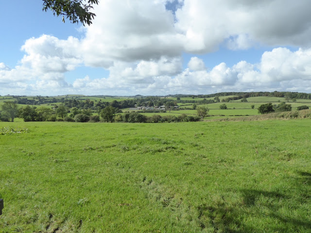
Papplewick, 30th October 2016


We started Bernard's walk today on the Papplewick Trail before striding out through Papplewick Village and along the Robin Hood Way south of Ravenshead to Blidworth. From there we walked along Fountain Dale, scene of the encounter between Robin and Friar Tuck (allegedly) before returning through the grounds of Newstead Abbey.  Here are some photographs.
Scary! Well it is Halloween
Harris's Hawks - beautiful creatures, not often seen near Ravenshead
This is more like it
Carrots. And even more carrots

Improvements to Rainworth Water catchment area - and a good site for lunch

 From
Robin Hood and the Curtal Friar.
The frier took Robin Hood on his back
Deep water he did bestride
And spake neither good word nor bad
 
Till he came at the other side.
Thieves Wood


Autumn landscape
Papplewick Hall (1787)
Mortons Farm Tea Rooms - well worth a visit
Bank reinforcement on the River Leen
 
South of Newstead Abbey
Now there was some discussion about the distance walked - it was advertised as 12.5 miles. GPS data varied from 12.1 to 12.5 miles except for my new Garmin 35 device which read either 13.1 or 14.3 depending on which figure you read. Both are obviously too high and the explanation is interesting. Near the end of the walk at 15:00, we took afternoon tea and my old Garmin (purple line below) gave up the ghost and stopped recording. The new Garmin, with superior satellite location capabilities tried harder but got things hopelessly wrong and the errors built up until the difference was 900m. 


South Kyme, 24th October 2016

Steve D led six ramblers on a 10 mile walk from South Kyme to Ewerby and back, following the  Slea Navigation.  This was built in the 1790s to link Sleaford to the River Witham near Tattershall, closing in the 1870s with the opening of the railways.  Lunch was taken on memorial steps outside Ewerby Church and the return walk followed a winding lane through the Lincolnshire countryside under a sunny autumn sky.  Towards the finish the walkers viewed a 14th century tower house in the grounds of the Augustinian Priory of South Kyme.
Another selfie
Slea Navigation
Lunch outside Ewerby Church
Tower House in grounds of Priory

Borrowash, 16th October 2016

John's walk today covered the area north east of Borrowash in Erewash District.  Below are some photographs from John J and Roger.


Dale Abbey Church


Dale Abbey ruins


Matlock to Ambergate, 9th October 2016


After meeting at Ambergate Station and taking the train to Matlock, VBR walked down the Derwent Valley Heritage Way back to Ambergate.  Here are some photographs.
Ambergate Station.  At the top left hand, note the white concrete walls of the almost-complete Amberate Reservoir, Severn Trent's largest covered reservoir, holding 128 million litres of drinking water destined for Nottingham.  These videos, February 2015 and July 2015 are worth looking at.

Matlock Bridge


Starting at Matlock Bridge, we walked through the park and after a 100m climb reached High Tor.
Distant view of Ribor Castle

Looking down onto the A6 from High Tor

Matlock from High Tor

Giddy Edge - one way down but not for most of us today

Heights of Abraham cable cars

Matlock Bath (before the bikers arrive)

Sir Richard Arkwright's Masson Mill, 1783
St Mary's Church, Cromford. Originally planned as a chapel for Willersley Castle by Sir Richard Arkwright

Cromford Wharf at the northern terminus of the Cromford Canal

High Peak Junction - the end of the High Peak Trail

Swing bridge at High Peak Junction

Leawood Pump House (1849 - 1944) built to supply water to the Cromford Canal,

Cromford Canal viaduct above the River Derwent

Distant view of Crich Stand and quarry


Eden House railway tunnel under house next to Cromford Canal


Somerby and the Leicestershire Round, 2nd October 2016

Starting in Somerby, today's walk..


... took in Cold Overton, Braunston-in-Rutland and Owston using a section of the Leicestershire Round.  Here are some photographs thanks to Roger.