Lambley Dumbles, 28th July 2021


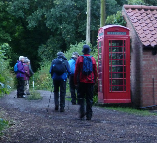
Eight VBR members just avoided a cloudburst to enjoy Howard's 4.7 mile stroll starting in Lambley in what turned out to be perfect conditions for a walk.


The start at the Village Hall car park in Lambley


Garden on the banks of Lambley Top Dumble

Fine views and excellent paths north of Lambley

Newly created bund and drain in the corner of a field above Lambley Bottom Dumble designed to slow the water entering Cocker Beck as part of the £5m Lowdham flood defence scheme


Caythorpe, Hough, Gelston (and Carlton Scroop), 25th July 2021

Today's walk started near the playing fields in Caythorpe before passing St Vincent's Church and following the edge of the Lincoln Cliff to Hough on the Hill and Gelston with good views over the Vale of Belvoir and the Trent Valley.  After coffee in Gelston, Elaine led half the group (11) on the short route back to Hough and Caythorpe whilst the others joined the Viking Way to Carlton Scroop for lunch at the church.  The quiet road back to Hough was an escape route to avoid the triffid-like pea crop in the fields to the north and then we followed the short-walkers' route back to Frieston and Caythorpe.

Our leader explains the need to concentrate on where you put your feet and not look at your smartphones all the time

Elaine tries to catch the attention of the group after Mike welcomes everyone to Caythorpe

St Vincent's Church, Caythorpe

Fine ironstone cottage in Hough on the Hill

Unusual Saxon tower at the Church of All Saints, Hough

The Brownlow Arms, a 17th century country inn in Hough - an alternative start-point for the walk

Looking down from the Lincoln Cliff across the Trent Valley.  The Lincoln Cliff runs for over 50 miles from the Leicestershire border near Grantham to the Humber Estuary, and is broken only twice by river gaps at Ancaster and Lincoln

Fine carvings on bench near Gelston

Coffee stop on The Green in Gelston


Medieval limestone cross dating from the 15th century

Separating the sheep (short walkers) from the goats (long walkers) in the pinfold

St Nicolas' Church, Carlton Scroop.  The God's Acre sign refers to the fact that churchyard is a sanctuary for wildlife and has been managed by The Lincolnshire Trust for its botanical diversity since 1996

GPS in action. Look (carefully), no hands!

The Beacon, Caythorpe church in the distance

Approaching Caythorpe


Ab Kettleby, Wartnaby, Saxelbye and Grimston, 18th July 2021

Susie led twelve of us on this seven-mile walk in very hot conditions from Ab Kettleby to Wartnaby, Saxelbye and Grimston.

St Michael and All Angels Church, Wartnaby

Old cottage in Saxelbye

Green man in Saxelbye

Lunch on The Green at Grimston

St John the Baptist, Grimston

Popular glamping site between Grimston and Wartnaby


Holme Pierrepont and Skylarks Nature Reserve, 13th July 2021


Fourteen on Angela's 4.9 mile stroll from the Skylarks Nature Reserve car park on Adbolten Lane to the far end of the Holme Pierrepont rowing lake, into the Meadows Nature Reserve and then round the lakes of the Skylarks Nature Reserve.


Approaching the end of the rowing lake

Rowing lake overflow

Suspiciously blue refelection of a white sky


Church Warsop, Cuckney and Norton, 11th July 2021

Sue's  8-mile walk today started at The Carrs car park in Church Warsop next to the River Maun and took 11 of us over fields to Cuckney, near the historic Welbeck Estate to Norton and through the edge of Sherwood Forest.

Warsop Mill and Bridge (1765) - view from The Carrs

Near the start - St Peter and St Paul's Church

Water meadows next to the River Poulter

Cuckney Primary School, once a mill on the Poulter

St Mary's Church, Norton Cuckney

Cuckney Water Meadows - commissioned by the 4th Duke of Portland in 1849 to provide hay for lifestock in winter

Coffee stop

Lodge on the edge of the Welbeck Estate

Memorial to Lord George Bentinck near the Great Lake
One of the several solar farms nearby with the new OS symbol

River Maun on the way back to Church Warsop

Railway to the now closed Welbeck Colliery.  A future cycle track perhaps?