Papplewick, Linby and Newstead Abbey, 19th December 2021


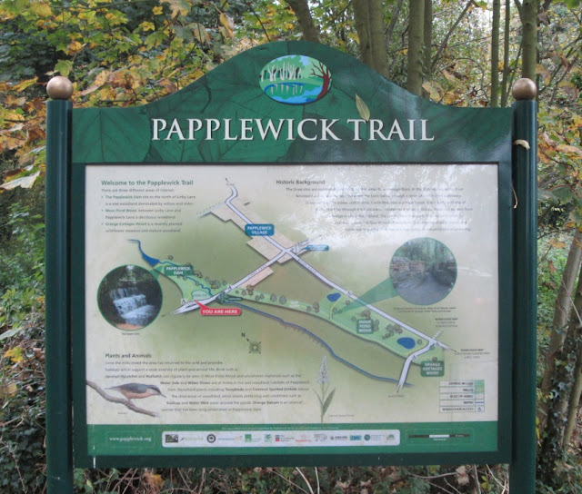
On a misty, moisty morning, from the Papplewick Village Hall (or the layby on Linby Lane), Elaine's 7½ mile walk took eighteen of us up the River Leen to Top Upper Dam and then across fields to Linby.

Persistent companion

By the River Leen in Papplewick Dam Wood.

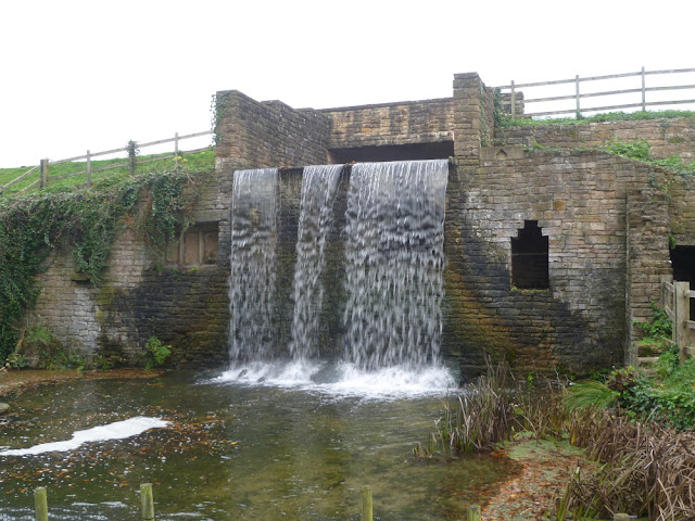
Maintenance of Top Upper Dam. In the 18th century, water from here was transported through a network of leats to power cotton mills lower down the Leen. Note that, in the context of watermills, the word dam can refer to the water reservoir itself

Cottages in Linby

These streams, known as the Linby Docks, are tributaries of the River Leen and were used to feed the mills around Linby

St Michael's Church, Linby
From Linby we climbed up to The Ranges, the site of the Linby Colliery slag heap for views (or not) of Nottinghamshire and then along the Linby Trail to Freckland Wood, another restored colliery tip which features sculptures to commemorate the area's mining heritage.

Man & Dog on The Ranges

Set in the base of the sculpture.
On a good day you can see Ratcliffe on Soar Power Station !

Linby Trail - one of the few places in Nottinghamshire where bedrock is visible

Freckland Wood - examining the sculptures of ...

... a hammer, shovel and pick axe. Notice the butterfly and squirrel
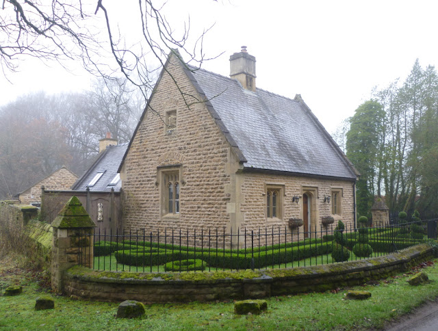
Entering Newstead Abbey grounds we walked up to the Upper Lake and had lunch in the grounds.
North Lodge


Across the dam wall of the Upper Lake

View across the lake

Outfall from the lake - the source of the River Leen

From there we walked through the Newstead Abbey Gardens to pick up the lane back towards Papplewick.

VBR members spaced out after lunch

Diversion through the Great Garden tunnel to view Eagle Pond, The French and Spanish Gardens

Sculpted heads of famous Nottinghamshire writers in the Small Walled Garden

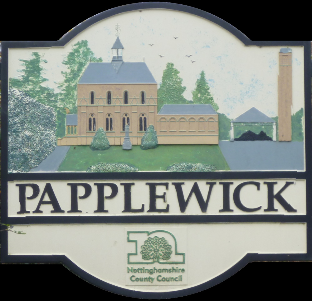
Almost back, Papplewick Hall on Main Street

Castle Mill (1782) on Linby Lane between the layby and the Village Hall. Its history and that of other mills on the Leen can be found here. The Leen Valley was flooded north of here to form the artificial lake known as Papplewick Dam and the Linby road ran across the dam wall


Cropwell Bishop and the Grantham Canal, 12th December 2021


A grand turnout (33) for the 5 mile Christmas Walk led by Sue from the Memorial Hall in Cropwell Bishop.  The route tooks us along the Grantham Canal to the A46 and then across fields to Cropwell Butler for mince pies and mulled wine near the Village Hall.  The return was along the edge of Cropwell Bishop and another stretch of the canal.


The start at the Memorial Hall

On the canal heading for the A46

Unexpected depression in field due to settlement or mineral extraction, Cropwell Butler in the background


Sheldon Field, a community playing field and wildlife area in Cropwell Butler

Mulled wine and mince pies ... 

... but not for you gals


Gunthorpe, Burton Joyce and the River Trent, 5th December 2021


An impressive turnout (28) for Heather's 8½ mile walk starting at the Gunthorpe Lock car park.  The walk took us downstream along the Trent before cutting across fields to Caythorpe and then to Gunthorpe Village.  Crossing the A6097, we took good tracks to the outskirts of Burton Joyce for lunch before returning along the Trent to Gunthorpe Lock.
Heather briefs us at the start

Trent ketches were built specifically for use on the Newark Navigation.  They carried up to 40 tons to the Humber seaports

Gunthorpe Weir from the opposite bank

Clapper gate, unique to the Trent

Crossing the Doverbeck near Caythorpe Mill
The Doverbeck river was the southern boundary of Sherwood Forest from the 13th century. The river rises near the village of Blidworth in the heart of the forest and flows southeast to join the River Trent near Gunthorpe and Caythorpe. Caythorpe Mill was one of eleven on the Doverbeck: Salterford Mill, Oxton Mill, Epperstone Mill, Woodborough Mill, The Paper Mill, Carby’s Mill, Parkinson’s Pit, The Lord’s Mill, Cliffe Mill, Hoveringham Mill and Caythorpe Mill

Motorhomes at Lowdhams, yours from only £45,488!


Lunch near the Burton Joyce flood defences

More lunchers where Crock Dumble meets the Trent

Gunthorpe Bridge

And back to the lock in improving weather


South Clifton, North Clifton and the Trent Valley Way, 28th November 2021


Sixteen on Angela's 6½ mile morning walk today starting on Trent Lane, South Clifton, crossing fields to the east of the Gainsborough road before returning through North Clifton and along the River Trent.


Back Lane, South Clifton - the start

Pure Land Meditation Centre and Japanese Garden, North Clifton, a miniature landscape of Japan built by a former monk, Buddha Maitreya

Embankments of the (tidal) River Trent


Fledborough Viaduct - built in 1897 to carry the Lancashire, Derbyshire and East Coast Railway over the Trent but used most recently (until 2003) for delivering coal to High Marnham Power Station.  Consists of 59 arches, four metal girder spans and nine million bricks.  It is now part of Sustrans Route 647, Worksop to Lincoln Cycleway

What's left of High Marnham Power Station - the pump house and cooling water intake