Jim took us on this flat and muddy 8-mile walk from Elston on tracks and some roads to Sibthorpe, along Longhedge Lane to Syerston and then back to Elston.
 |
| The start at the junction of Carrgate Lane and Toad Lane |
 |
| Carrgate Lane - soggy |
 |
| The wetlands of the Car Dyke "valley" - soggier |
 |
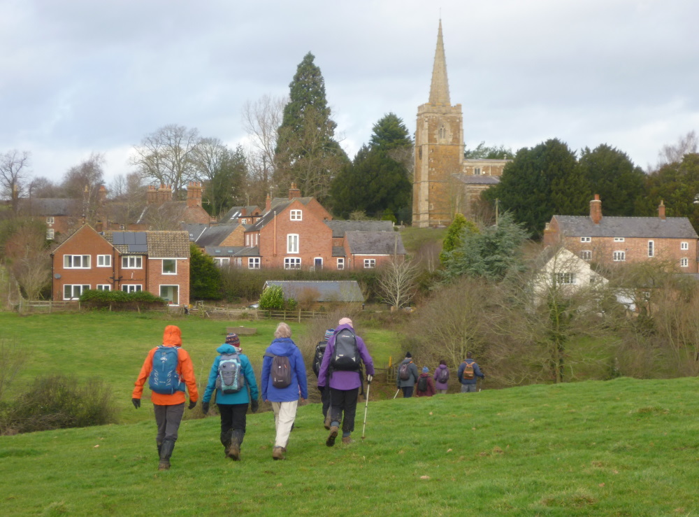
| Near St Peter's Church, Sibthorpe |
 |
| Sibthorpe Dovecote next to Car Dyke |
 |
| Sibthorpe Dovecote. Built by monks in response to a famine of 1360, it housed over 1,200 pigeons in tiny nesting niches perched 24 stories high. It provided a supply of meat, eggs and fertilizer to safeguard against future starvation |
 |
| Lunch at All Saints' Church, Syerston |
 |
| Syerston Pinfold |
 |
| Longhedge Lane - soggiest |
 |
| All Saints' Church, Elston |


