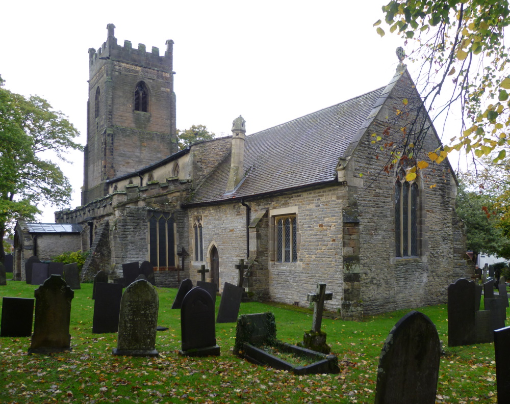
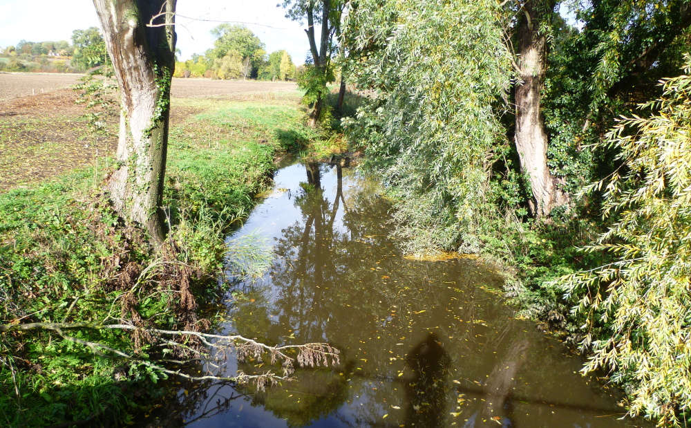
Starting at Plungar Church, Susie's 7¼ mile walk took ten of us across fields to Barkestone and then on to Redmile for coffee, returning to Plungar along the Grantham Canal.
For more photos taken on the walk, go to John J's Relive video.
Starting at Plungar Church, Susie's 7¼ mile walk took ten of us across fields to Barkestone and then on to Redmile for coffee, returning to Plungar along the Grantham Canal.
For more photos taken on the walk, go to John J's Relive video.
Elaine led twelve members on this six-mile walk starting at the Dirty Duck next to Woolsthorpe Wharf. It took us along the Grantham Canal to Denton Wharf and on to Denton Reservoir for coffee, past Denton Village itself and along the road to Woolsthorpe by Belvoir to pick up the disused railway line as far as the Viking Way. Rejoining the canal, we walked back to the Dirty Duck for lunch for most of us.
![]() |
| The start at the Rutland Arms (aka Dirty Duck) |
![]() |
| Woolsthorpe Wharf from Woolsthorpe Bridge |
![]() |
| National Cycle Network sign next to the canal |
![]() |
| View from Longmoor Bridge |
![]() |
| The Denton Reservoir Loop on the Grantham Canal Opened 1797, closed 1936 - coffee stop |
![]() |
| Denton Reservoir |
![]() |
| Leaving the line of the disused ironstone railway and joining the Viking Way near Longmoor Bridge |
![]() |
| Grantham Canal Society workboats |
![]() |
| Woolsthorpe Locks |
Paul's 10½ mile, undulating walk today started at Launde Abbey and took eight of us on good tracks to Loddington and then on to Belton in Rutland for lunch. Six took the full route but two headed for home. The route made full use of the many waymarked footpaths in the area - the Rutland Round, The Leicestershire Round, the Macmillan Way and the Leighfield Way.
![]() |
| Setting off up an early undulation looking forward to the promised views |
![]() |
| One of the promised views - prepared earlier |
![]() |
| Conference delegates taking a well-earned break |
![]() |
| Launde Big Wood Nature Reserve |
![]() |
| Loddington |
![]() |
| St Peter's Church, Belton in Rutland |
![]() |
| Armistice Day lunch at the War Memorial cross, Belton in Rutland |
![]() |
| The long, the short and the elevation - over 400m of climbing |
Angela's 8.1 mile walk took thirteen of us around the Langford Lowfields RSPB Reserve , then alongside the River Trent to Besthorpe Nature Reserve and back across fields, making use of the Trent Valley Way at times. The area is dominated by old and current Tarmac quarries for extracting sand and gravel.
![]() |
| Conveyer connecting Tarmac Langford Sand and Gravel quarries |
![]() |
| Sluice gate, where the Trent Valley Way crosses Slough Dyke, used to keep floodwaters under control. |
![]() |
| Wobbly, floating bridge over Langford Lowfields |
![]() |
![]() |
| Cromwell Weir, the limit of the tidal Trent. A proposal was made to install a hydropower station generating 1.6MW at its peak but this was rejected because of the impact on one or two fishing pegs |
![]() |
| Sand and gravel jetty on the River Trent |
![]() |
| Besthorpe sand and gravel works. A very busy site for sand and gravel extraction but to the north the former workings have been turned into nature reserves. See also the history of the Trent Valley aggregates industry |
![]() |
| Back over The Fleet |
Starting at The Unicorn's Head in Langar and ignoring threats of lightning strikes and thunderstorms, Steve led six brave souls along the gated road to Colston Bassett and then across fields to reach and follow the Grantham Canal to Cropwell Bishop for lunch next to the church. More field tracks took us to the ruin of St Mary's Church near Colston Bassett but, enough was enough, and the way back was to retrace our steps along the gated road to Langar.
![]() |
| Phil preens himself in a convenient mirror before the group photograph |
![]() |
| There's no such thing as bad weather, only unsuitable clothing, AW (Coast to Coast, 1973). Silly old goat |
![]() |
| Colston Bassett, once named as one of the country's poshest places to live so deserving of two fancy village signs |
![]() |
| Still raining on the yellow brick ... towpath |
![]() |
| The last remaining buildings on the Grantham Canal |
![]() |
| St Giles' Church, Cropwell Bishop - lunch |
![]() |
| The ruined St Mary's Church near Colston Bassett |
![]() |
| The River Smite in Colston Bassett - has been over 2m higher in recent years and has caused serious flooding |
![]() |
| Length 9½ miles as advertised |